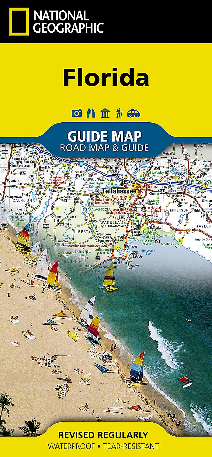
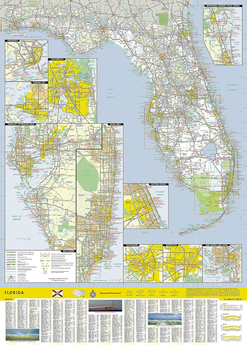
Whether traveling for business or leisure, let National Geographic's Florida Guide Map lead you on your visit to the "Sunshine State." Coverage is unparalleled with one large road map encompassing the entire state and several detailed city and metropolitan area inset maps, including Jacksonville, Miami, Tampa-St. Petersburg, Orlando, Tallahassee, Fort Myers-Cape Coral, Gainesville, Melbourne-Kennedy Space Center, Dayton Beach, Pensacola, Panama City and Key West. Pinpointed are hundreds points of interest, national and state recreation lands, campgrounds, visitor centers, airports and hospitals.
Visitor information is given for Miami/Miami Beach, Orlando and Key West along as well as Everglades National Park and the Florida Panhandle scenic drive. Descriptions of many popular points of interest, a calendar of events, a chart of services at national parks and a convenient index of counties, cities and towns will help you plan your itinerary.
Every State Guide Map is printed on durable synthetic paper, making them waterproof, tear-resistant and tough — capable of withstanding the rigors of any kind of travel.
Products are available for purchase in-store at our Shop located at: